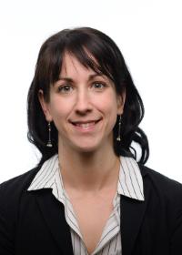
Dr. Katleen Robert
 Canada Research Chair in Ocean Mapping
Phone: 709-778-0648
Email: Katleen.robert@mi.mun.ca
Research involves
Mapping seafloor and marine habitats in high resolution.
Research relevance
This research supports marine spatial management and sustainable use of marine resources.
Our oceans in high resolution
It is incredibly difficult to manage something if we do not know where it is. Yet, this is often what we try to do when it comes to marine resources and habitats. It is estimated that 200 ship-years would be required to map our oceans to the resolutions that we currently have on land. In some areas of the ocean, our best maps may only have >1x1 km pixel sizes.
As the tier 2 Canada Research Chair in Ocean Mapping, Dr. Robert’s research aims at mapping the spatial complexity of the ocean from the seafloor to the surface. The goal is to create an integrated picture of our oceans which will allow us to understand where species are and why. In order to achieve this, she works with underwater robotic vehicles which allow sonars and cameras to be brought closer to the seabed to collect high-resolutions acoustic data and videos. These high resolution maps better illustrate the complexity of the seabed, and just like on land, allow us to better understand the spatial distribution of diverse habitats.
By studying the relationships between habitats, resources and human activities, and by providing a baseline to monitor ecosystem responses to environmental change, Dr. Robert's research will help inform management decisions to support sustainable resource exploitation.