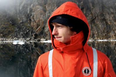
Benjamin Misiuk

Department of Geography
Memorial University of Newfoundland
St. John's, NL
A1B 3X9
Office: SN 2014
Tel: (709) 864-8412
Fax: (709) 864-3119
bmisiuk[at]mun[dot]ca
Research
 | |
|---|---|
 |
|
My foremost research interest is on geospatial modelling, and I apply it primarily at the seafloor. I am keenly interested in statistical modelling methods for mapping seafloor surficial geology. During my Ph.D. and postdoctoral fellowships I have developed geospatial models for predicting substrate parameters such as the sediment grain size. I am working on the development and application of emerging machine and deep learning techniques to improve our capacity to model such seafloor parameters. I also commonly work on acoustic data analysis, species distribution modelling, and benthic habitat mapping projects. Geospatial data visualization via the cartographic presentation of model predictions is extremely interesting to me and I aim to uphold the highest cartographic standards in my research group.
Education
OFI International Postdoctoral Fellow (2020-23) - Dalhousie University
Postdoctoral Fellow (2019-20) - Fisheries and Marine Institute of Memorial University of Newfoundland
Ph.D. (2019) - Memorial University of Newfoundland
B.Sc.Hons. (2014) - Acadia University
Select Publications
Please see my Google Scholar profile for an exhaustive list of publications.
Misiuk, B., Brown, C.J., 2023. Improved environmental mapping and validation using bagging models with spatially clustered data. Ecological Informatics 77, 102181. https://doi.org/10.1016/j.ecoinf.2023.102181
Ilich, A.R., Misiuk, B., Lecours, V., Murawski, S.A., 2023. MultiscaleDTM: An open‐source R package for multiscale geomorphometric analysis. Transactions in GIS. https://doi.org/10.1111/tgis.13067
Menandro, P.S., Bastos, A.C., Misiuk, B., Brown, C.J., 2022. Applying a Multi-Method Framework to Analyze the Multispectral Acoustic Response of the Seafloor. Frontiers in Remote Sensing 3, 860282. https://doi.org/10.3389/frsen.2022.860282
Nemani, S., Cote, D., Misiuk, B., Edinger, E., Mackin-McLaughlin, J., Templeton, A., Shaw, J., Robert, K., 2022. A multi-scale feature selection approach for predicting benthic assemblages. Estuarine, Coastal & Shelf Science 108053. https://doi.org/10.1016/j.ecss.2022.108053
Misiuk, B., Lecours, V., Dolan, M.F.J., Robert, K., 2021. Evaluating the Suitability of Multi-Scale Terrain Attribute Calculation Approaches for Seabed Mapping Applications. Marine Geodesy 44, 327–385. https://doi.org/10.1080/01490419.2021.1925789
Misiuk, B., Brown, C.J., Robert, K., Lacharité, M., 2020. Harmonizing multi-source sonar backscatter datasets for seabed mapping using bulk shift approaches. Remote Sensing 12, 601. https://doi.org/10.3390/rs12040601
Moudrý, V., Lecours, V., Malavasi, M., Misiuk, B., Gábor, L., Gdulová, K., Šímová, P., Wild, J., 2019. Potential pitfalls in rescaling digital terrain model-derived attributes for ecological studies. Ecological Informatics 54, 100987. https://doi.org/10.1016/j.ecoinf.2019.100987
Misiuk, B., Lecours, V., Bell, T., 2018. A multiscale approach to mapping seabed sediments. PLoS ONE 13, e0193647. https://doi.org/10.1371/journal.pone.0193647